
|
.
 ..
 ..................................................................................................................
Nothing
presently exists of the original Friendship
Airport building , currently known as BWI ,
Thurgood Marshall Airport. The airport, just
south of Baltimore City, is on 3,300 acres of Anne Arundel County Maryland
land. When the airport opened in 1950, it was
said to cost $15,000,000, and was said at
the time, to be four times larger than New
York's La Guardia Airport and five times larger
than Washington D.C.'s National Airport.
Friendship Airport got it's name from the old
Friendship Methodist Church that once occupied
the site. When the airport was being planned in
1948, it was the second regional airport in the
Baltimore Washington area, the first being
Washington National Airport . The main
runway, when Friendship first opened, was
reported to be 2 miles long. The newer - BWI -
Thurgood Airport has been built over the same
site. When the airport first opened and
throughout the 1950's, maps would often listed
the address as " along the Baltimore Expressway
", an early name I guess for the Baltimore
Washington Parkway. ..
 .
 Just before opening,
the new Friendship airport awaits the big day in
June of 1950.
.
  .
   |
|
.
 .............. ..............The good old days.......
Pulling up in front of the Airport and "waiting for a
while".
|
.
 |
|
.
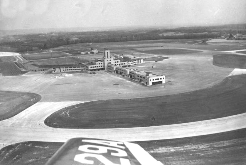
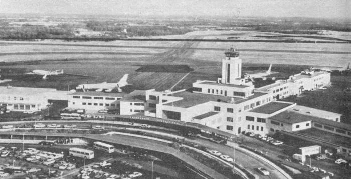
 Aerial photo of Friendship
soon after it opened.
.................................................... .............. .............. |
........../////////.......................................................................... .
 .
 |
|
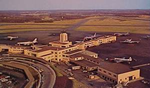
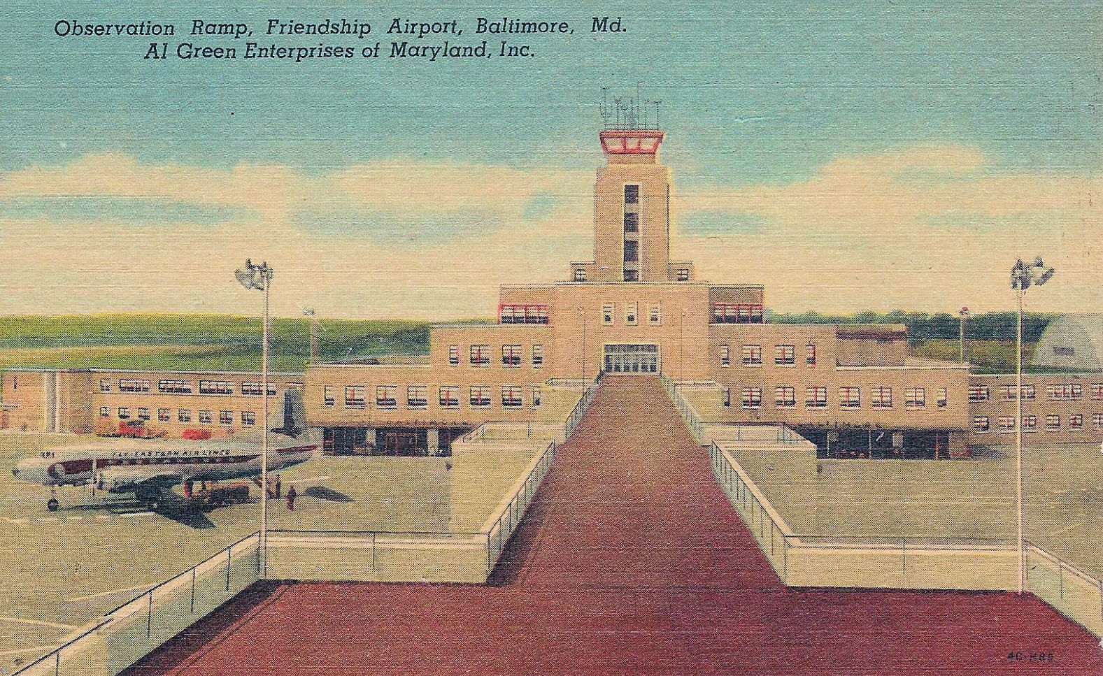
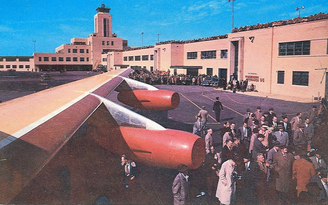
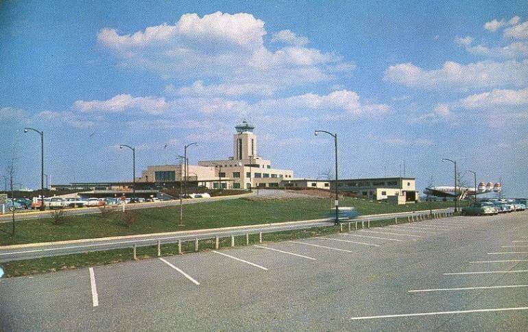
Above, several
opening day promotional shots of Friendship
airport in Anne Arundel County Maryland. Below
left , an early postcard of the airport,
and below right, a view from the runway
and the observation deck.
.........../////////////////////////////////////////////////////////...........................................
Lobby of Friendship Airport back
in the 1950's..
.Postcard
view of the Lobby of Friendship Airport when
it opened ( above 3 right ).
Friendship Airport might have been where the
first branch for a bank in a airport was
located, with the opening of the Fidelity
Trust Office, which was a bank branch
enclosed in glass walls.
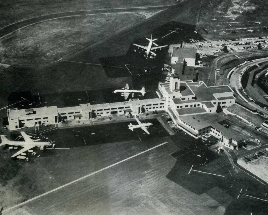
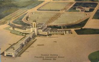
 Early aerial
view of Friendship Airport ( above four )
, shows only a few planes on the ground and one
large hangar. The early days were not good for
the airport as traffic was not quite what
officials had expected, but with the advent of
jet planes, such as DC8s. 707s and 727s, the
airport became very successful. This entire
building , which contained three piers and three
levels, has since been torn down and replaced
with Baltimore Washington International Airport.
The airport was named after the area, known as
Friendship, in Anne Arundel
County, just south of Baltimore City.
.
 Lost are
the days when you were allowed to go right out
on the roof of the airport and view the activity
from the Observation Deck. I never made it to
the old observation deck at Friendship, but
today's BWI observation area is enclosed, which
is ok, but not quite as exciting.
|
..../////////.............................................................. ............ ............ |
|
.
 |
.......................... |
 |
 .............. .............. |
.
 |
 |
 |
////////////////////////////////////...... |
.
 |
|
.
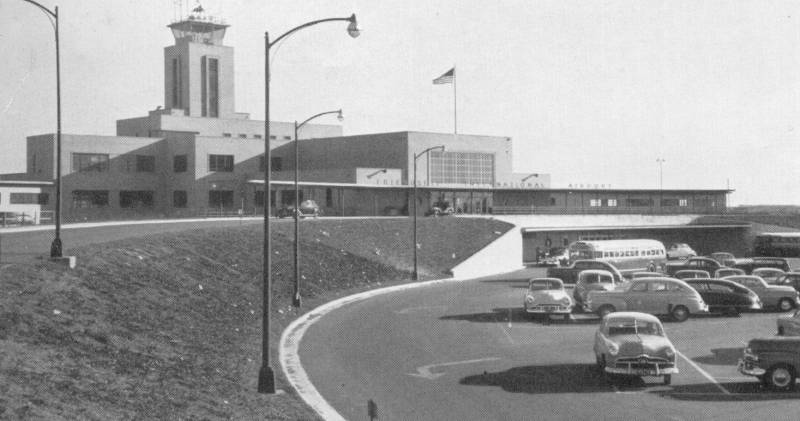
 Replacing the Dundalk
Airport in Eastern Baltimore City and County ( listed
below ) , Friendship Airport was quite an
exciting opening day for folks all around
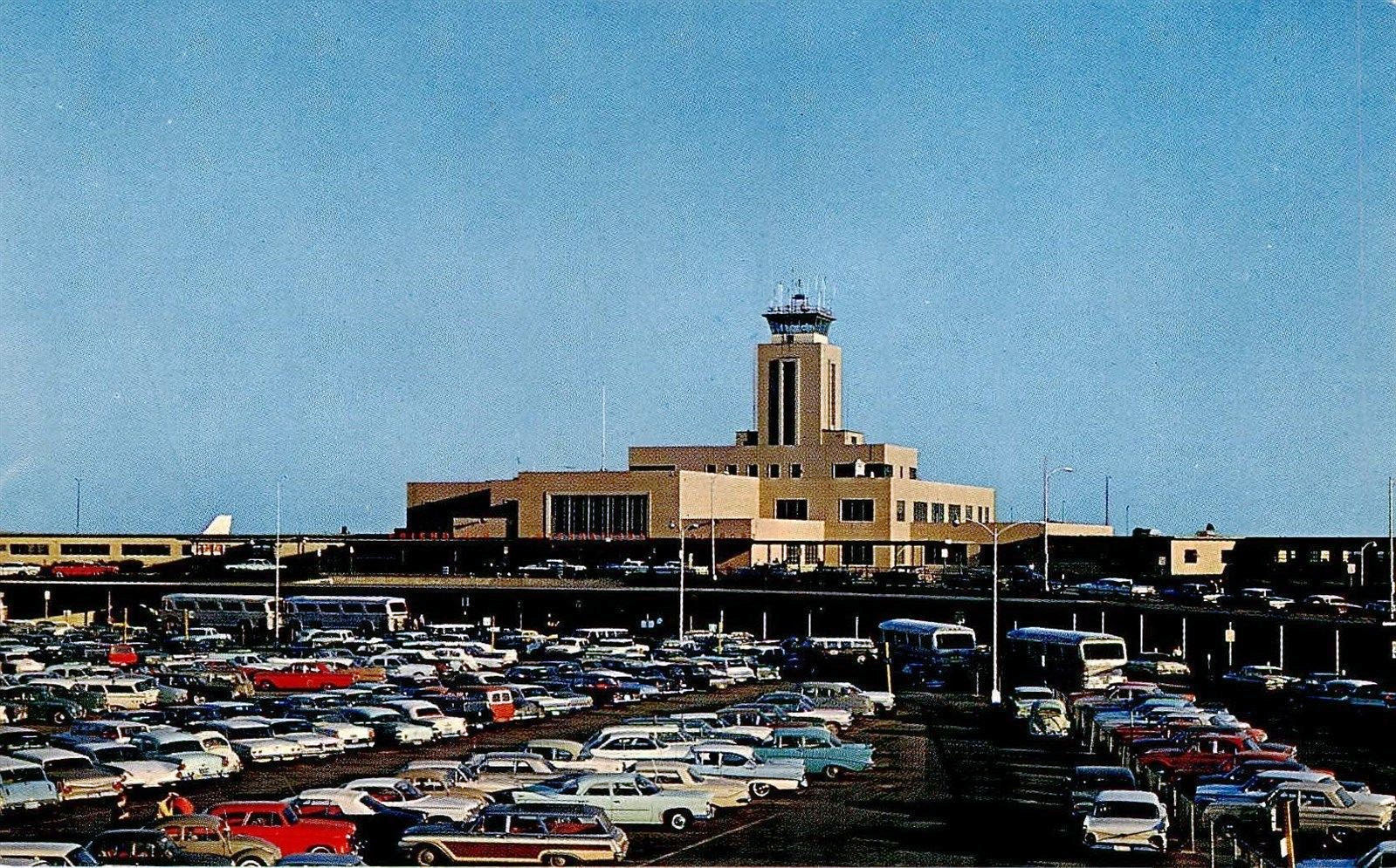
Maryland. Below, Friendship's parking lot with a
few spots visible, and well within walking
distance of the airport. Times have changed as
the parking lots are now multi- storied garages
and the airport has satellite lots for long term
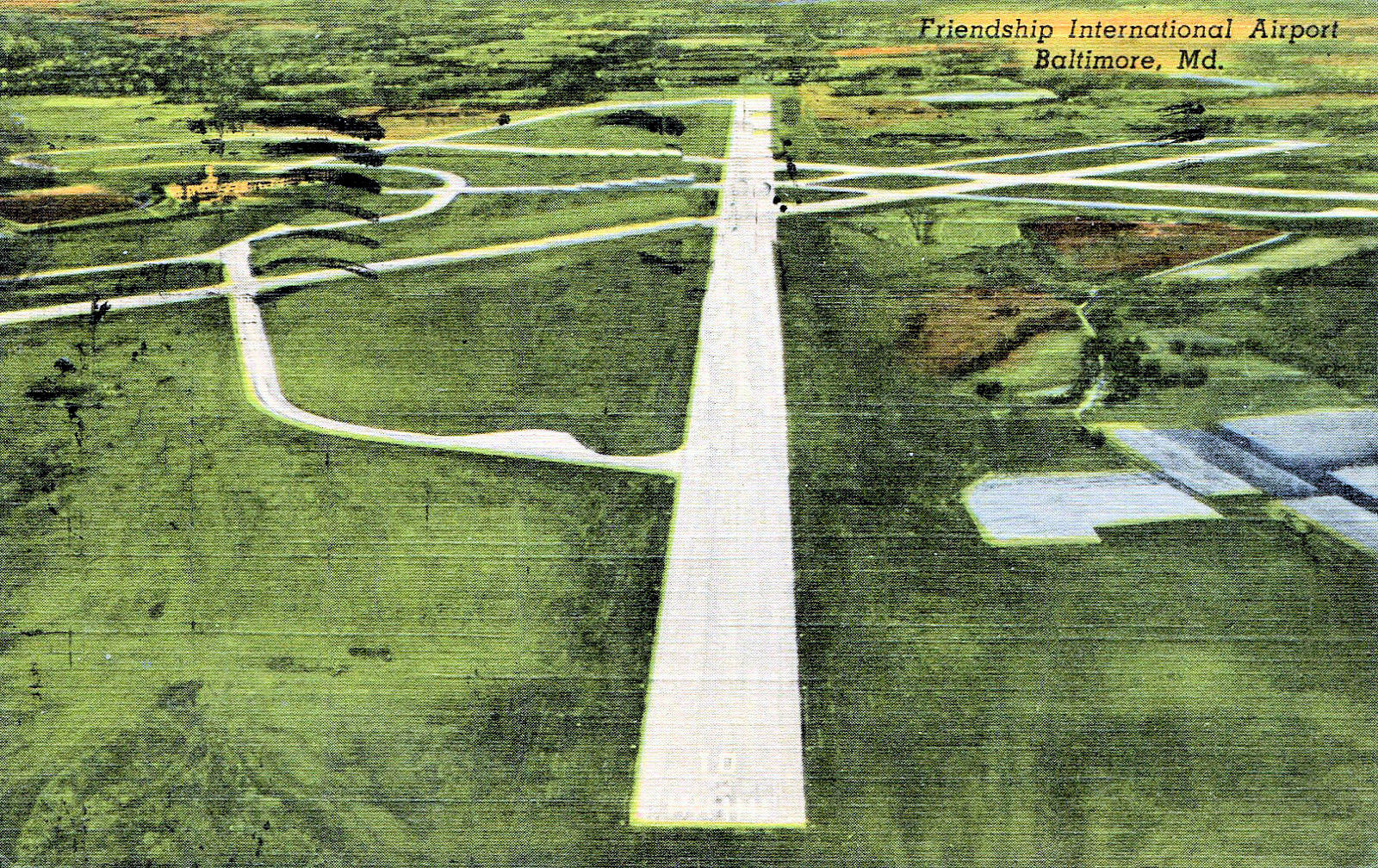
parking as well. Below right, a look at the
runways when the airport first opened, and far
below left, the airport with two planes awaiting
passengers.
........///////////////////////////////////////........................ .... ...................//////////////////////////////////////////////////////............................................. ...................................................TWA ticket counter, Friendship Airport - Baltimore Maryland circa 1950's ..................   |
. |
.
 |
.
 |
 |
|
A few new
entries for the Friendship Airport page that I
obtained a opening day booklet for the Baltimore
Civic Center , now known as First Mariner Arena.
The booklet had all sorts of material on early
1960's Baltimore, which included these three
pictures of a typical day at Friendship Airport.
By 1963, Friendship airport boasted of a 9,450
foot runway, which could handle any jet at that
time. For years the airport was owned and
operated by the City of Baltimore, with 145
Municipal employees and 1,400 employees working
there in 1963. At that time, there were 150
daily flights, 11 airlines and 19 gates
available. Ownership later went over to
the State of Maryland.
.
 .
 |
......... |
....  |
|
.
 . . .
 .
 |
|
.
 Baltimore Sun
Photo Tribune Publishing - Lloyd Pearson
1977
Out with the old - in with the
new, the replacement of Friendship Airport and the
building of BWI right next to it.
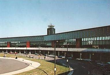
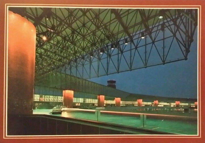
 BWI in the
1980's, prior to the building of a massive
parking garage, which went up in the late 1990's to
2000. The early airport of the 1960's had a parking
lot which would only hold 1,900 cars.
.
......................................... .
 |